This epic 76km walk was the brainchild of a young lady, Sara, from church, whose husband Dean had a diving accident in early 2015. As a result of the accident, a bubble lodged in his brain, sending him into a coma and completely paralysing him. Doctors indicated he would likely lose his sight, probably never walk again, and could quite possibly die. Instead, by the grace of God, he pulled through, has no visual problems, and has learned to walk again. To mark the 1 year anniversary of the accident, the walk was arranged to represent the hardships and mountains that have been overcome along his journey. In addition, it was a fundraising walk, with monies raised going to the Westpac Rescue Helicopter Service, without which Dean would certainly have died. The walk signified that it's a long way to walk to get help without the rescue helicopter. Donations can still be given through the page found
here.
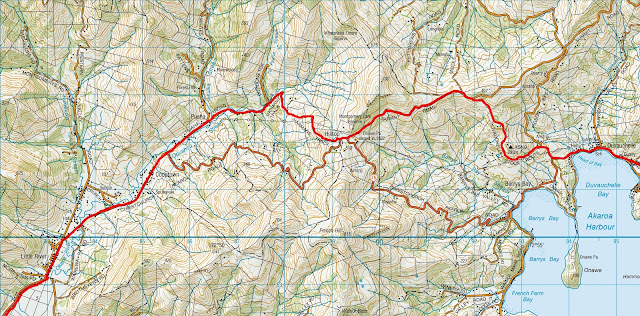
With the accident occurring off Akaroa Heads, we started at Jubilee Park in Akaroa, where Dean was initially transferred to be picked up by helicopter.
We set off at 4am in strangely warm conditions, 22degC, and made quick work of the 10km stretch of undulating road to Duvauchelle. From there, as anyone familiar with the area will know, it's up the hill. A short distance up we turned off at the signposted turnoff to Pigeon Bay, and from there linked onto the Duvauchelle Stock Route and along to Hilltop. It was a reasonable climb up, during which I quickly realised that this was not going to be a day for stopping to take numerous photos as I usually do when tramping - every stop saw me fall further behind the lead bunch who were setting a cracking pace.
From the hilltop, we descended what's known as Harmans Track, a 4WD route down into a pleasant valley that enabled us to avoid the main highway which is a little narrow on the hill. The valley at the bottom was a nice area, one rarely visited I imagine, as travelers would usually be racing by on their way to Akaroa or beyond.
Emerging from the valley, we then had a 4km or so stretch on the main highway, which was getting busy now, before arriving at Little River at around 9am. 25km down, and the first of the two major hills now behind us.
Awaiting our arrival in Little River were all manner of people - supporters, families, some folk from the Westpac Helicopter Events Team, and a TV3 news crew! Word was getting out about this group of walkers!
After a quick (all too quick!) refuel we were on the move again, leaving the highway to walk the Little River Rail Trail. This trail, frequented by walkers and cyclists, generally follows the main highway, making it very accessible for those wanting to do a short section of it. This also aided our support vehicles, who could stop every few kilometres to check how everyone's water and food supplies were going.
The rail trail is flat, and in my opinion a rather uninspiring trail. The only alternative would have been the highway, which is no more exciting or interesting as the two run side by side almost and would have been significantly more hazardous! It just meant that the section along the rail trail was a fairly monotonous plod, made more enjoyable by being in the presence of good company.
One advantage of the trail being so close to the road was that people could join the walk, do a section, then jump off and be picked up almost anywhere they felt like. One major downside to the trail is that it runs alongside Lake Forsyth, which has got to be one of the most disgusting pieces of water in Canterbury. Logging on the hillsides above the lake had led to increased levels of erosion, bringing more sediment into the lake. As a result, the lake is now extremely shallow, which in turn means warmer water allowing algae to thrive. Toxic blooms have literally poisoned the lake...it's not a pleasant waterway.
Once past the lake, the trail led us round the bend near Birdlings Flat to a good parking area where we stopped for lunch at almost exactly midday, 8 hours after leaving Akaroa.
Lunch, for me, came at a much needed time, as I had found the final stretch leading up to our stop point quite challenging. It was the first, and only, time on the walk that I felt I wouldn't make it. It wasn't that the terrain was hard - far from it - but I was running on empty due to the fact that we'd been pretty much constantly on the go for 8 hours.
After a short lunch, not wanting to stop for too long and tighten up, we struck out along a long, straight stretch of the rail trail again, heading across the flats towards first Kaituna, and then on towards Motukarara. With lunch on board I felt revitalised, and enjoyed striding out along this section, despite the somewhat repetitive nature of it, and was feeling great when we regrouped where the trail crossed Seabridge Rd, the point where we were to leave the rail trail.
Avoiding a blind corner on the highway, we cut across a paddock to join the main road again and happily marched along it to Millers Rd, where we turned and started to make up our way towards the road up to Gebbies Pass.
Gebbies Pass is quite a low saddle (at around 160m altitude) that can be crossed to reach the head of Lyttelton Harbour. The climb up is on a fairly easy gradient, steepening just a little towards the top. Having made enquiries earlier in the day about this section I knew the real climb was about to begin - a long slog up the Summit Rd to where it bisects Coopers Knob and Gibraltar Rock.
On a typical day this would be an easy climb, but with 55km already behind me I knew it was going to be a challenge, so I decided to stick to my own steady pace rather than try and keep up with the lead group. This was a decision I'd made quite early in the day, feeling there was no point in trying to match the faster pace of others with such a long day in front of me. Although it meant that for long periods of the walk I was on my own, I was comfortable in the knowledge that by doing so I would give myself a much better chance of completing the entire walk...and I don't mind my own company anyway!
After starting comfortably, the climb up the Summit Rd steepened as we went up, winding its' way up towards and around some rocky outcrops before the gradient eased nearer the top as we sidled under Coopers Knob. The view from the high point on the road, near Gibraltar Rock, made it worthwhile, stretching right across Christchurch to the Alps, and just around the next bend we could see the entire city - our goal was now in sight, we just had to get down there.
With the climbing behind us, the section along the Summit Rd was an easy amble, following the undulating road as it passed under Cass Peak, then round through the Kennedys Bush Reserve, and on to the Sign of the Kiwi at the top of Dyers Pass.
Here I was met with the joyous sight of my family waiting, an emotional moment for me, but one that gave me renewed energy for what I anticipated to be a hard descent down the steep road.
I'm not too familiar with the track network on the Port Hills, so was pleasantly surprised to find that initially we weren't using the road for our descent, instead heading into the bush onto the Harry Ell Track, that took us from the Sign of the Kiwi down to the entrance to Victoria Park. This track was superb, leading gently downhill on a very well formed track, much nicer than the expected descent on the hard road.
At this point though, only partway down, we moved out onto Dyers Pass Rd for its' steeper lower section down to Colombo St. My family were providing great encouragement along here, driving ahead then cheering as our small group approached and passed, and it made the foot-jarring descent much more enjoyable.
Once down on the flat streets of Christchurch it was an easy road to the finish. We went up Colombo St then turned onto Strickland St, which runs on an angle up to Brougham St. After a short walk westwards on Brougham we turned up into Selwyn St, which took us right to our destination - the helipad at Christchurch Hospital. 76km and 16 and a half hours after leaving Akaroa, I'd made it!
Waiting for us were numerous supporters as well as the Westpac Helicopter Events Crew, who were generously cooking a BBQ for us. A few short thank you speeches and we were done.
Congratulations to all who took part, whether in doing the full walk, a short section, or providing support, you all contributed in one way or another.
Remember, this was a fundraising walk for a fantastic cause, so if you feel the urge to donate, head to the page
here.
 |
| The route from Akaroa (lower right) to Christchurch Hospital (top left) |
 |
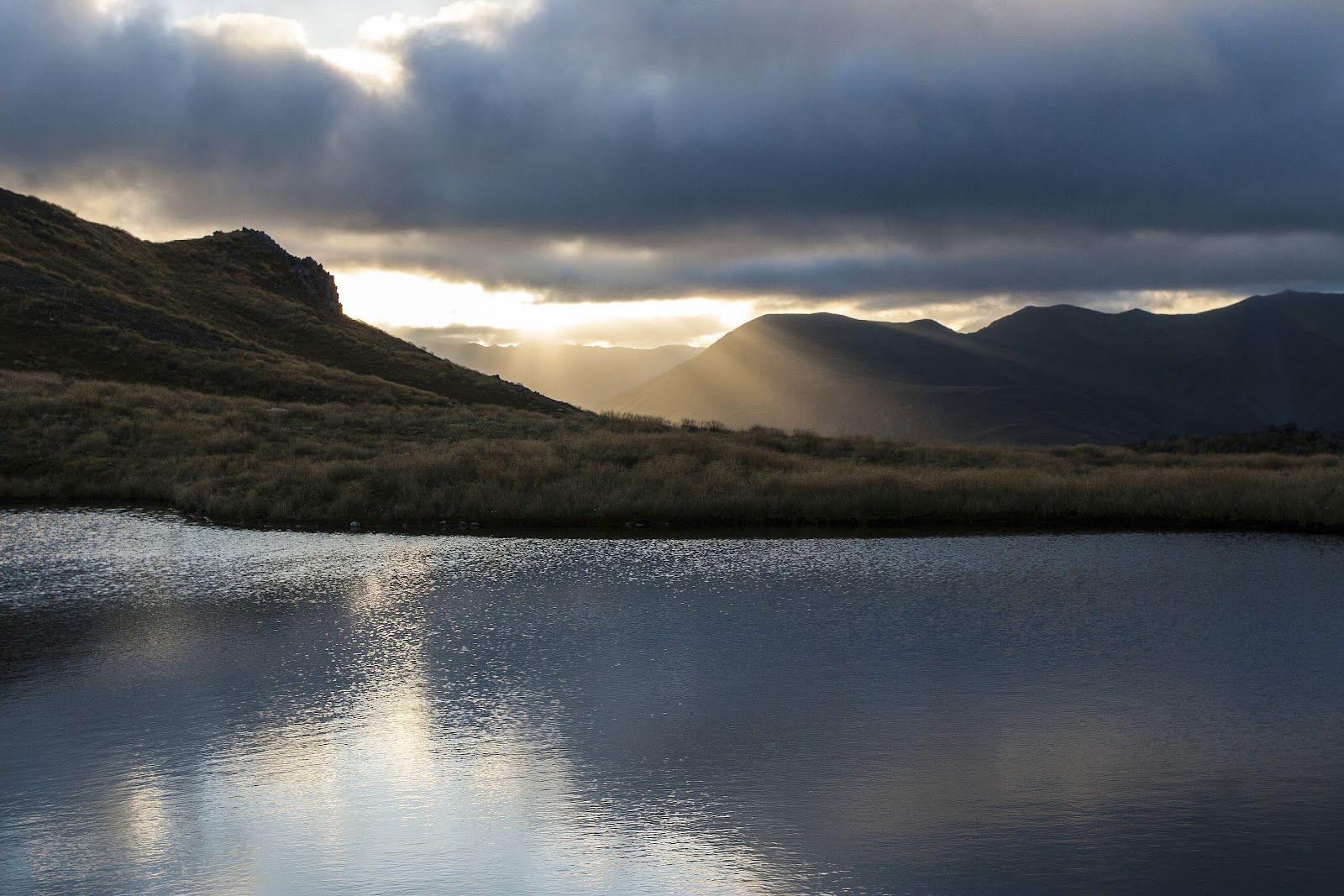
| Looking back to the lights around the harbour from the stock route, 2 hours into the journey |
 |
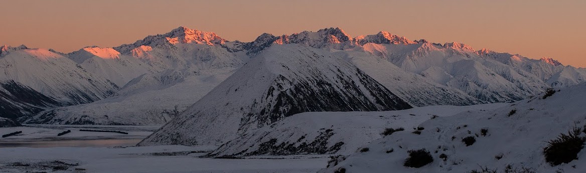
| Akaroa Harbour at dawn |
 |
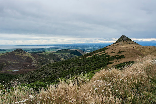
| Akaroa in the distance - we've come a long way in 3 hours |
 |
| Akaroa Harbour and Heads away to the right |
 |
| Media interviews at Little River |
 |
| Another short pit stop where more new faces joined, the toxic Lake Forsyth in behind |
 |
| A few of the new faces, looking fresh! |
 |
| Dean & Sara, one of the few moments she was standing still all day!! |
 |
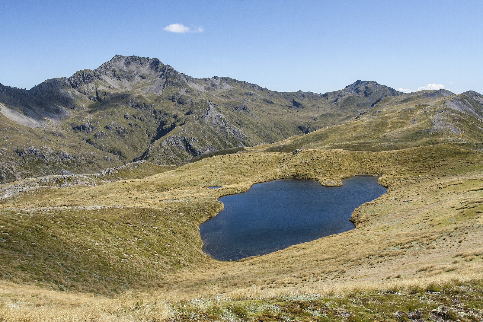
| At the top of the Summit Rd, Gibraltar Rock standing prominently |
 |
| Akaroa to Duvauchelle section |
 |
| Duvauchelle to Little River via the Duvauchelle Stock Route and Harmans Track |
 |
| Little River Rail Trail |
 |
| Route to Gebbies Pass and high point of the Summit Rd |
 |
Summit Rd to the Sign of the Kiwi
|